The Ancestor Hunt regularly adds and updates new collection links, as well as searches for and fixes broken links.
(This page's most recent update is May 2026)
Practical solutions for real genealogy research problems. Explore the new Field Guides
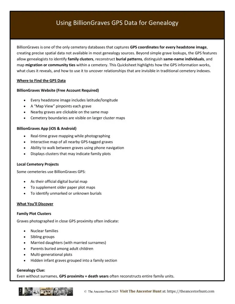
BillionGraves is one of the only cemetery databases that captures GPS coordinates for every headstone image, creating precise spatial data not available in most genealogy sources. Beyond simple grave lookups, the GPS features allow genealogists to identify family clusters, reconstruct burial patterns, distinguish same-name individuals, and map migration or community ties within a cemetery. This Quicksheet highlights how the GPS information works, what clues it reveals, and how to use it to uncover relationships that are invisible in traditional cemetery indexes.
Download the Quicksheet PDF
To obtain a three-page Quicksheet PDF of this information, download it by clicking on the Download button below:
For all the previously published Quick Reference Guides, click on QuickSheets.