The Ancestor Hunt regularly adds and updates new collection links, as well as searches for and fixes broken links.
(This page's most recent update is May 2026)
Practical solutions for real genealogy research problems. Explore the new Field Guides
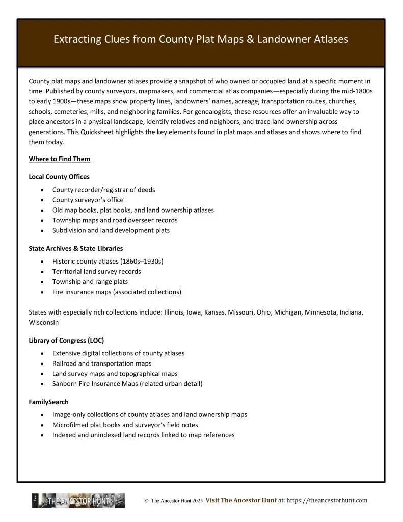
County plat maps and landowner atlases provide a snapshot of who owned or occupied land at a specific moment in time. Published by county surveyors, mapmakers, and commercial atlas companies—especially during the mid-1800s to early 1900s—these maps show property lines, landowners’ names, acreage, transportation routes, churches, schools, cemeteries, mills, and neighboring families. For genealogists, these resources offer an invaluable way to place ancestors in a physical landscape, identify relatives and neighbors, and trace land ownership across generations. This Quicksheet highlights the key elements found in plat maps and atlases and shows where to find them today.
Download the Quicksheet PDF
To obtain a four page Quicksheet PDF of this information, download it by clicking on the Download button below:
For all the previously published Quick Reference Guides, click on QuickSheets