The Ancestor Hunt regularly adds and updates new collection links, as well as searches for and fixes broken links.
(This page's most recent update is December 2025)
Want to improve your newspaper research skills? Use the resources of the Newspaper Research Academy at Academy
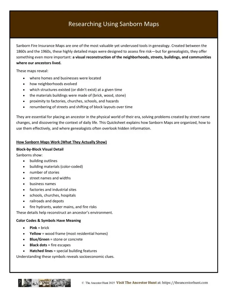
Sanborn Fire Insurance Maps are one of the most valuable yet underused tools in genealogy. Created between the 1860s and the 1960s, these highly detailed maps were designed to assess fire risk—but for genealogists, they offer something even more important: a visual reconstruction of the neighborhoods, streets, buildings, and communities where our ancestors lived.
They are essential for placing an ancestor in the physical world of their era, solving problems created by street name changes, and discovering the context of daily life. This Quicksheet explains how Sanborn Maps are organized, how to use them effectively, and where genealogists often overlook hidden information.
Download the Quicksheet
To obtain the sic-page Quicksheet PDF with details about the site for easy reference, you can download it by clicking on the Download button:
For all the previously published Quick Reference Guides, click on QuickSheets.
Genealogy QuickSheets – Frequently Asked Questions
- 100 Best Free Online Genealogy Websites
- Beyond the Search Engine: Using Google Databases for Genealogy Research
- 64 Genealogy Items to Collect from Your Home
- United States Genealogical and Historical Societies
- 24 Places Where You Can Find Your Ancestors Occupation
- 13 Types of Genealogical Information You Can Find in Old Yearbooks
- 16 Places Where You Can Find Genealogy and Family History Books
- Easy Cousin Relationship Chart